Sultan River Canyon Trail- Hike #71
L and I took the kids and dog hiking yesterday on the Sultan River Canyon trail. Now I thought that I had done this trail before when I was a kid and lived in Sultan. (Sure enough I had, confirmed that with my folks.)
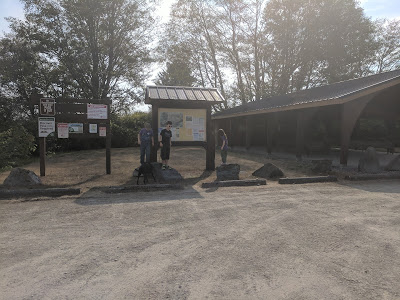
To get to the trail take Highway 2 east or west, turn left if coming from the west or right if coming from the east when you arrive at the light for Sultan Basin Road. Continue on the Basin Road until the pavement ends and turns into gravel. Follow the gravel road until you come to an information kiosk. At the kiosk you will fill out a paper for signing in and stating that you will follow the rules for the basin. (Interesting fact the lake provides 80% of the water for Snohomish County.) Pull out and bare left at the Y-intersection and follow the road to the parking lot.
The parking lot is large and if you go past the yellow gate and meander down the road there is a bathroom and some picnic tables. However there is no water supply, so I recommend bringing lots of water if it is a humid day. Which in our case it was.


 There are signs that tell the history and show pictures of the building of the dam. You can also go fishing in the lake.


We parked and headed up the road to turn right.

Miss A was our leader as usual.

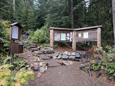
I recommend reading the signs at the beginning of the trail. They have lots of interesting and useful information on them.

I thought that view was really pretty and is just off the road.

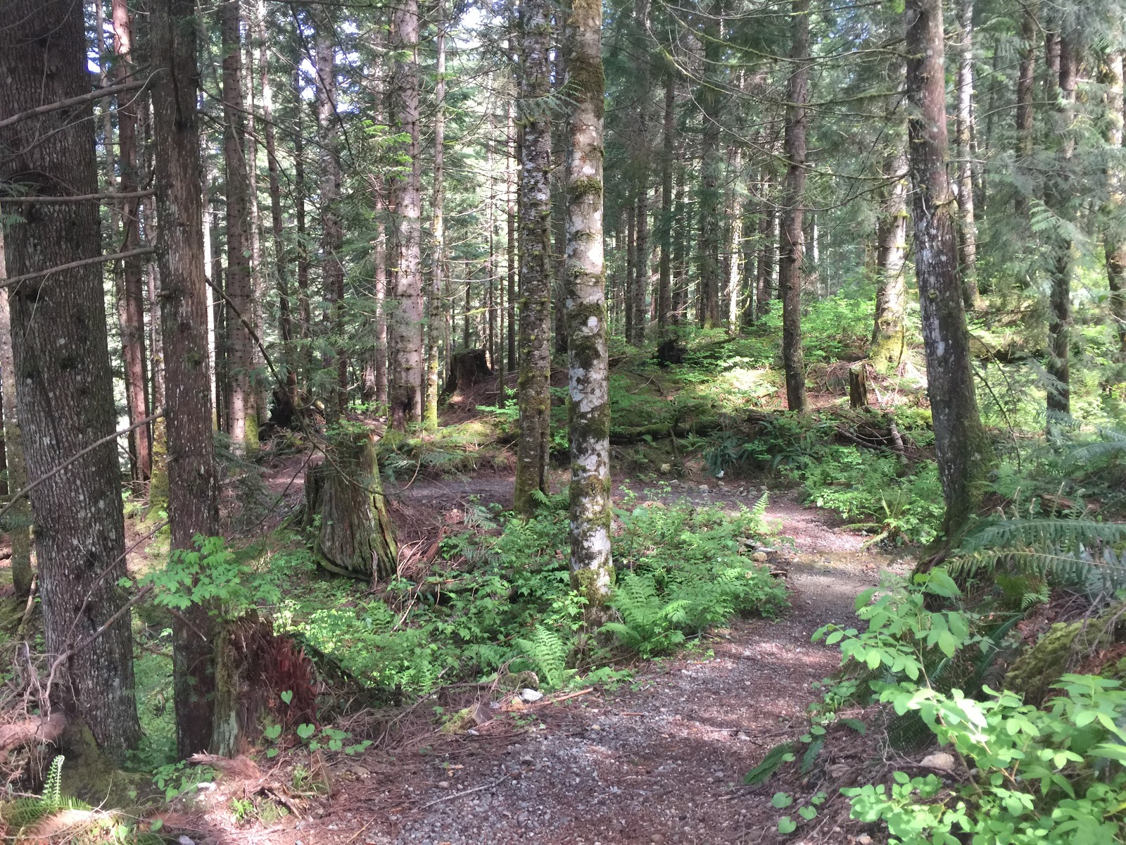
The beginning of the trail is a road that you meander on for about a mile, starts behind the gate. You can go around the gate but you know, why go around it when you can climb over it.

The road is very broad and quite oblate.

Miss A found the perfect walking stick, until she accidentally broke it in half then it became her perfect sword for fighting away anything that might harm us.

On the way you come upon culverts that run under the road. Mr H wanted to scramble down and look at them. I responded to him with a no.

This is the other side of the culvert.

The road has some very lovely views.

A short distance later you come upon another culvert.

In the above picture the kids found that the road washed out and taped off. You can also see that the trail goes right.

It is pretty oblate.
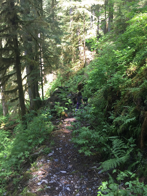
You then immediately start down the switch backs.

You loose about 600 feet elevation.

The above picture shows the switch backs, they aren't bad, I have down some that angel hurts your knees. These do not.

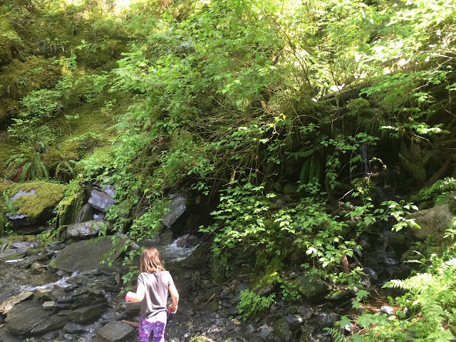
This was the first stream crossing that we had to do.

The waterfalls were so beautiful.

And so peaceful.

The spray from the falls felt very nice and refreshing because we were very warm.


More waterfalls.

Miss A was so proud of herself for crossing the streams all by herself.


At this point we were almost to the bottom of the canyon.

Miss A informed me that this was a leaver for the door I had to go through.

L. and I saying hi.

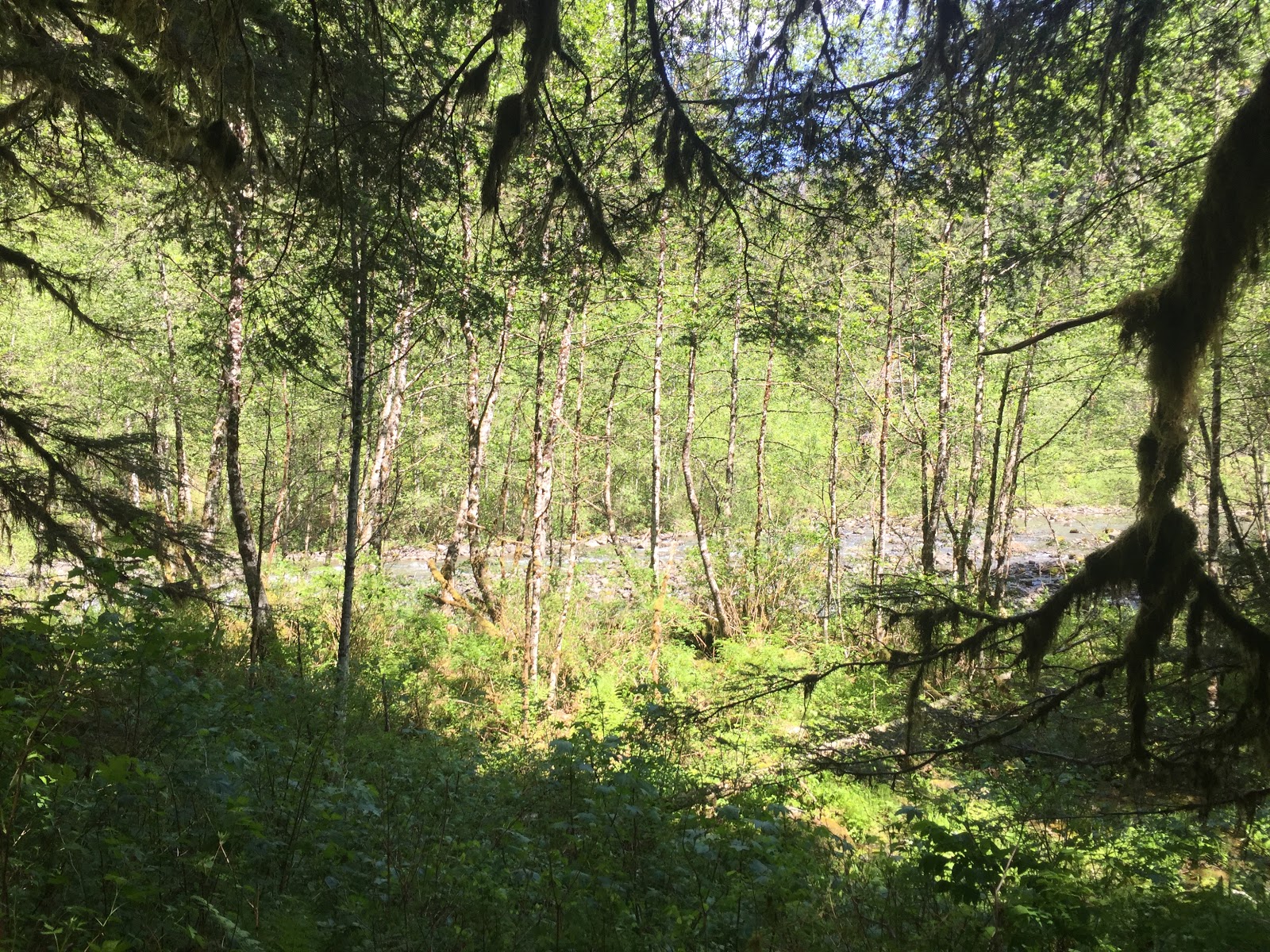
At this bridge you could hear the river and the picture below is when you could start to see the river.

We finally arrived! There were 2 other people here with their dog, but they left and crossed the river to the other side. Which then allowed us to have the whole area to ourselves.

Cookie looking pretty and intently watching the other dog.

Miss A was so excited to play in the mud. Actually it was more like clay. She and H decided that they were going to paint the log in it.

In the river we found caddisfly (trichoptera) casings, and fish. We think that one was a trout because it was bigger then the others.

After exploring and playing in the river we headed back up the trail. Which is about a 600 feet elevation gain, so not too bad.

Once we were back at the car, I made the decision to go down and see the dam.


After enjoying looking at and walking on the dam we headed back to the car. We had a lovely time, the weather was perfect, a little sweltry but worth the 5 miles that we did.
Until next time!
Comments
Post a Comment