Johnson Ridge & Scorpion Mountain. Hike #73
L and I had been talking about doing a longer hike that was more strenuous then previous ones for a while. I knew that the kids would do it but I really didn't want to bring them along because I didn't want them to complain towards the end. And to be honest I wanted to hike without them.
On Sunday I was kid and husband free so L and I headed off to the Johnson Ridge trail.
We left early because we both read that the parking lot is small and we wanted to beat the crowds since it was Sunday, and I am very slow proceeding up any sort of an incline. (I do make up for how slow I am by how fast I can go down.)
To get to the trail take US 2 east or west, turn onto Beckler River Road (FR 65). Follow the road until the pavement ends at a 3 way junction. Turn right onto FR 6520. (This is on the far right, almost behind your shoulder when you are in a vehicle.) Continue on until you come to a junction and make a left. There is a sign that says Johnson. Follow this all the way up to the parking lot.
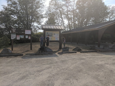
There was only one car in the parking lot when we arrived. (FYI This trail does not have a bathroom or water anywhere. So if you go on a hot day bring lots of water with you.)
We started up the trail and a few feet up came to the registration kiosk. I signed us in and we proceeded on.
The trail immediately starts climbing and covered in the rocks that are visible in the picture below. Now all of the reports that I read said that the steep climb is only 3/4 of mile long. I would like to say that it feels closer to a mile, especially on the way down. It killed my knees.
One thing that we noticed on this hike is that we didn't have to climb or go around any downed trees or large rocks to circumnavigate and there were not a lot of roots all over the trail either. It is a very well maintained trail and pretty easy. Other then the elevation gain and loss.
This is still the beginning of the climbing that is supposedly only 3/4 of a mile.
Still climbing.
Here is when it finally started to flatten out some. The trail was slippery and there was some muddy spots.
I love this picture.
And this picture. I told L that this hike reminded me a lot of the Pacific Crest Trail section that B and I did last summer.
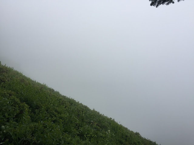
Our views were amazing don't you think?
We saw 2 people that were coming down as we were making our way up. We saw 4 dogs and 11 people on our way down.
Made it to Sunrise Mountain.
This picture is one of my favorites also.
Had to take a selfie.
The berries are going to be abundant when fully ripe, there were patches of blueberries in numerous locations. I love wild berries they are so good, and I might go hike this again so I can eat them.
Looking up to what I had just come down
Looking down the rest of the trail that we still had to proceed down.
And then we had to of course go climb back up the 300 feet on the other side of the saddle.
I am not sure what this flower is. Does anyone know?
I am not sure what this flower is. Does anyone know?
This root ball was huge.
No down logs on any section of this trail at all. It is very well maintained.
This was the first patch of snow.
If I remember correctly there about 5 patches of snow that we came upon.
The last one was on a section of the hill, but you could either hold onto the bushes and trees if you didn't feel confident enough to walk across it.
Walking up to this meadow was so pretty with all of the yellow.
Pretty sure that this is a Glacier Lilly.
This is the section of snow that I talked about above. Pretty easy to go across.
This was a rather muddy section.
Cool fungi.
Almost to the top.
I did not do any fancy camera angles in the picture above. That is looking straight from the trail out. This section of trail was very narrow through the meadow.
This was the last section of trees that you walk through before you come to a junction. Left takes you to the top and going right takes you down hill and to the lake. We chose not to go to the lake because honestly we didn't want to hike down and then hike back up.
Finally at the Top! We didn't go any further since there was snow still on the ground, it was windy, raining and my leg bottoms were soaked. I was leaving puddles while standing still. We did sit on some nice rocks to eat our snacks and then proceeded our way back down the trail.
I though that the tree was cool when we were heading up and decided to take a picture of it on the way back down.
I saw a tiny piece of wood with this yellow fungus on it and at first thought that it was a sticker. Then I came upon this root with all of these on it.
A picture looking back at the way we had come down.
Of course the sun started to make an appearance once we were 3/4 of the way back to the car.
According to my GPS we did 8.8 miles roundtrip, I am not sure about the elevation gain.
Even if we didn't get any wonderous views we still had a wonderful time.
Until next time!


Comments
Post a Comment